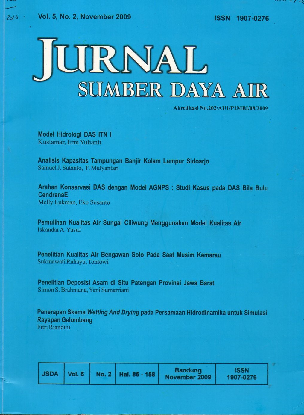
MODEL HIDROLOGI DAS ITN I
DOI:
https://doi.org/10.32679/jsda.v5i2.468Keywords:
Catchment Area Hydrology Model, surface run-off, discharge.Abstract
Physical spatial factors of watershed such as topography, soil types and land use show a prominent
contribution in the distributed water shed modeling. One of the difficulties encountered is the change of
topographical information in map form into data that can be read by model program. In the process of
analyses, physical spatial factor of water shed is divided into grid system consisting of rectangular cells
groups. In each cell, surface run off discharge ,including its direction, is determined based on the depths by
applying a one dimension unsteady flow concept whereas direction is determined by using information on
four points of the cells. Water depth of the surface run off can be calculated by using both a vertical water
movement model and land use area condition. The model has been tested using the available data of Lesti
(East Java) watershed. From calibration and verification processes, this so called Hydrological Model of
ITN 1 has been successfully applied with very good reliability.
References
Asdak, C. 1995.
Gajah Mada
University Press.Yogyakarta
Haji,T.S. dan S. Legowo. 2001.
Makalah disampaikan dalam PIT
XVIIIHATHI, Malang.
Hattermann, F.V., F.Krysanova, Wechsung,
and M.Wattenbach. 2002.
,
Potsdam Institute for Climate Impact
Research, German.
Kustamar. 2007.
Disertasi. Tidak Diterbitkan.
Pitt, R., S.E.Chen, and S.Clark. 2001.
Presented at theLowDevelopment Roundtable
Conference.
Singh, V.P., and D.A.Woolhiser. 2002
J. Of Hydrology Engineering,
July/August 2002, hal. 270-292.
Sokrut, N. 2001.
, Thesis,
Dept. Land andWater Resources Engineering,
Royal Institute ofTechnology, Sweden.
Suhartanto, E. 2001.
. 21 Juni
Suharto, B. 2002.
Pidato Pengukuhan GB.UB.
Malang.
Wong, T.S.W., and Chen C.N. 1992.
J.
Hydrology, 143 : 339-354.
Yeo, I.Y., S.I.Gordon, and J.M.Guld mann.
. 12 Juli 2004.
DAFTAR PUSTAKA
Hidrologi Dan Pengelolaan
Daerah Aliran Sungai,
Pemanfaatan
SIG untuk Model Hidrologi Sebar
Keruangan,
Multiscale and
Multicreterial Hydrological Validation of
the EcoHydrological Model SWIM
Pengembangan Model
Simulasi Penggunaan Lahan Untuk
Mengendalikan Fluktuasi Debit Sungai.
Infiltration Trough Compacted Urban Soil
and Effects on Biofiltration Design,
Mathematical Modeling of Water-shed
Hydrology,
A Distributed coupled
model of surface and subsurface dynamics
as a tool for catchment management
Optimasi Pengelolaan
DAS di Sub DAS Cidanau Kab. Serang
Propinsi Banten Menggunakan Model
Hidrologi ANSWERS.
Modeling Hidrologi Untuk
Pengelolaan Sumberdaya Air Dan
Peramalan Hidrograf Banjir Pada Daerah
Aliran Sungai,
Pattern
of flood peak increase in urbanizing basins
with constant and variable slopes,
Optimizing Patterns of Land Use to
Reduce Peak Runoff Flow and Nonpoint
Source Pollution with an Integrated
Hydrological and LandUse Model
Downloads
Published
How to Cite
Issue
Section
Citation Check
License
Authors who publish in Jurnal Sumber Daya Air agree to the following terms:
- Authors retain copyright and grant the journal right of first publication with the work simultaneously licensed under a Attribution-ShareAlike 4.0 International (CC BY-SA 4.0) License that allows others to share the work with an acknowledgment of the work's authorship and initial publication in this journal.
- Authors are able to enter into separate, additional contractual arrangements for the non-exclusive distribution of the journal's published version of the work (e.g., post it to an institutional repository or publish it in a book), with an acknowledgment of its initial publication in this journal.
- Authors are permitted and encouraged to post their work online (e.g., in institutional repositories or on their website) prior to and during the submission process, as it can lead to productive exchanges, as well as earlier and greater citation of published work (See The Effect of Open Access).